


Researchers get $67K grant for Georgian Bay Geopark project
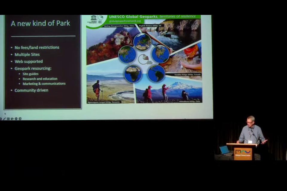
Tony Pigott, of the Georgian Bay Geopark Network, hosted a presentation in 2022 about how Georgian Bay could benefit from becoming a UNESCO Global Geopark. |
From MidlandToday, June 9, 2023
NEWS RELEASE
ASPIRING GEORGIAN BAY GEOPARK
*************************
The Royal Canadian Geographical Society and National Geographic have awarded a Trebek Initiative grant to the Georgian Bay Geopark project.
The grant, totalling $67,000, will support unique research based on ‘two-eyed seeing,’ using lidar to document and illustrate 11,000 years of environmental and cultural history in Georgian Bay, resulting in the first geo-cultural atlas of Georgian Bay.
The project is led by Dr. Kirsten Kennedy, Dr. Nick Eyles (University of Toronto), in collaboration with Jamie Hunter, Jack Contin and Peter Storck.
The Trebek Initiative
Building on their individual legacies, and a shared history of excellence in storytelling, exploration and education, the National Geographic Society and the Royal Canadian Geographical Society have reinvigorated their long-standing collaborative efforts to create this initiative. The Trebek Initiative funds storytellers, educators, conservationists and researchers whose projects aim to preserve Canadian and Indigenous land, wildlife, water, culture and history.
The project
Georgian Bay is a unique North American ecosystem now recognized as an Aspiring UNESCO Global Geopark in acknowledgement of its diverse geology and landscapes. By virtue of its position along the edge of the Canadian Shield, it has been at a crossroad of cultures since people first visited the shores of then-glacial Lake Algonquin, 11,500 years ago. Thus began a long-lived interconnection between an evolving landscape and first ancestors that has persisted in the histories and traditions of the many Indigenous cultures that have called Aki and Georgian Bay home, like the Huron-Wendat, Council of Three Fires, Haudenosaunee, and most recently the Métis people.
Embracing the principle of ‘two-eyed seeing’ to reconcile the Indigenous perspective from geomythology and history with state-of-the-art mapping technologies, Kirsten will map geo-cultural sites identified by local Indigenous and archeological partners with light detection and ranging (lidar) technology. Work completed to date shows that lidar imagery reveals hitherto unseen details of a site’s physical setting in a highly visual and accessible format. The results will inform planning of the UNESCO Geopark and associated educational and conservation activities. As a final educational product, lidar images, geomythology, and maps will be curated into a large-format physical and digital atlas of geo-cultural sites around Georgian Bay.
*************************
Read the release here
Leave a Reply