


Province’s backgrounder on proposed changes to provincial land use plans
Public feedback sought at Open Houses, online, by mail
News release from the Ministry of Municipal Affairs and Housing
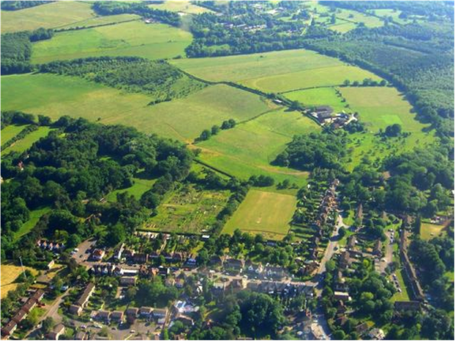
Ontario is proposing to strengthen the four award-winning and internationally recognized provincial land use plans that work together to support the economy, manage growth, and protect farm lands and natural environment in the Greater Golden Horseshoe and on the Niagara Escarpment.
The plans are:
-The Growth Plan for the Greater Golden Horseshoe
-The Greenbelt Plan
-The Oak Ridges Moraine Conservation Plan
-The Niagara Escarpment Plan
The proposed changes to the plans are based on recommendations by an advisory panel headed by former federal cabinet minister and former mayor of Toronto David Crombie, and input received from public consultations held in 2015.
Proposed amendments include:
Building Complete Communities
Strengthening protections for employment lands and transit corridors
Requiring zoning along transit corridors to provide adequate density to support transit
Requiring at least 60 per cent of annual new residential development to be within the existing built-up area of a municipality
Increasing density targets for designated greenfield areas in municipalities to at least 80 people and jobs per hectare
Strengthening environmental, financial and planning criteria for any future settlement area expansions
Requiring the province to establish a transparent and consistent way for municipalities to calculate the amount of land needed to accommodate growth
Refining and clarifying the rules for development on rural lands.
Supporting a Viable Agricultural Sector
Allowing greater flexibility in the types of agriculture-related uses allowed on farm land
Mapping an agricultural system that extends beyond the Greenbelt across the Greater
Golden Horseshoe, including agricultural land and the infrastructure that supports farming and including it in municipal official plans
Clarifying how setbacks from natural features apply to agricultural and related uses
Enhancing compatibility between farm and non-farm land uses, such as highways and urban areas
Ensuring that major infrastructure projects or urban expansions fully consider and reduce impacts on agricultural lands.
Protecting Natural Heritage and Water
Establishing Greenbelt-level protections for natural heritage systems – such as wetlands, woodlands and rivers – beyond the Greenbelt, with the provincial government taking a lead in mapping those areas. Municipalities would be required to plan for and protect these systems in their municipal official plans
Requiring municipalities to complete watershed planning before planning settlement area expansions, infrastructure or major developments that could affect those watersheds.
Growing the Greenbelt
Adding lands in 21 major urban river valleys and seven associated coastal wetlands to what is protected by the Greenbelt. Greenbelt policies would apply only to the public lands in these urban river valleys.
Adding four parcels of land identified by the City of Hamilton and the Region of Niagara as Protected Countryside to what is protected by the Greenbelt.
Over the next year, the province will study growing the Greenbelt in areas with water resources that are under development pressures.
Responding to Climate Change
Many of the proposed changes, such as those related to compact and complete communities, improved transit and curbing urban sprawl will work together to dramatically reduce Ontario’s contributions to climate change including requiring municipalities in the Greater Golden Horseshoe to:
Include climate change policies in their official plans
Conduct climate change vulnerability risk assessments when they are planning or replacing infrastructure
Develop storm water management plans and address flood risks in their settlement areas.
Planning for Infrastructure
Clearer direction for municipalities to take an integrated approach to land use and infrastructure planning
More specific direction to municipalities to better protect corridor lands reserved for future goods movement (rail or road) and other future infrastructure, such as hydro lines.
Streamlining Implementation
Through the review, policies, terminology, definitions and language have been harmonized and streamlined as much as possible across the four plans and with the Provincial Policy Statement 2014. In addition, the province will be developing guidance materials to support municipalities with plan implementation. Ontario also proposes to establish consistent timelines and approaches for municipalities to bring their official plans into conformity with the new provincial land use plans.
Open Houses
Public open houses will be held in May and June 2016. A list of confirmed open houses and a Guide to the Proposed Changes are posted online at Ontario.ca/landuseplanningreview.
BARRIE OPEN HOUSE: Monday June 6, 2016, from 5-8pm at the Army Navy and Air Force Club
7 George Street.
Ontarians can also give their feedback on the proposed revisions through:
The Environmental Registry
Email to landuseplanningreview@ontario.ca
Mail to:
Land Use Planning Review
Ministry of Municipal Affairs and Housing
Ontario Growth Secretariat
777 Bay St. Suite 425 (4th floor)
Toronto, ON M5G 2E5
The viewpoints gathered will inform Ontario’s final revisions to the four provincial land use plans.
Leave a Reply